‘Tornadoes over water’ seen across Eastern Canada this summer

MONTREAL – Marc-André Bourgeois-Gaudet was in his boat off the shores of Îles-de-la-Madeleine, Que., last Friday when he saw several funnel clouds descending from the sky like tornadoes.
As he got closer, the rain started falling harder than anything he’d ever experienced, he said. “It was like having a waterfall fall on my head.”
The Northern Tornadoes Project, based at Western University, has confirmed that a number of waterspouts — also known as tornadoes over water — occurred in recent days in Quebec and Nova Scotia.
Both Îles-de-la-Madeleine and Inverness, N.S., reported the weather phenomenon on Aug. 23, while another formed over the Lake of Two Mountains near Vaudreuil, Que., west of Montreal, two days later. There have also been a number in Ontario in August, most in the Great Lakes area.
David Sills, executive director of The Northern Tornadoes Project, said a waterspout is simply a tornado that forms over water instead of land.
“A tornado is a rotating column of air that extends to the lower part of the storm cloud to the surface, and the surface can be either land or water,” he said.
Related: Three tornadoes likely hit Quebec, uprooting trees and damaging infrastructure
Waterspouts have been in the news in recent weeks, ever since a superyacht sank during a storm off Sicily last week, killing seven people. Italian civil protection officials said the storm may have stirred up a waterspout at the exact place where the British-flagged Bayesian was moored.
While a waterspout can cause damage if it hits a boat directly, Sill said most are far less destructive than their land counterparts. He said most have wind speeds of between 90 and 130 kilometres per hour — weak by tornado standards — and are given a rating of EF-0.
Because cooler air over lakes tends to suppress thunderstorm activity, “it’s more the exception than the rule that you have a strong tornado coming in off of a lake,” he said. However, it does happen, including when a tornado formed as a waterspout over Lake Huron in 2011 before slamming Goderich, Ont., as a destructive F3.
Waterspouts can “certainly sink a boat,” but most are slow-moving enough that they can be avoided, he said.
Bourgeois-Gaudet, from Îles-de-la-Madeleine, said he never felt truly in danger during his close encounter with the waterspout. He said that while the water was a little choppy, the wind was never high enough to risk capsizing. “The hardest part was seeing where I was going” due to rain.
Sills said that since the tornadoes project started in 2017, its members have documented about 15 waterspouts a year. This year, they’re already up to 18 confirmed or suspected events, making this year slightly above average so far, he said.
The waterspouts in Quebec drew plenty of attention — likely because they’re not reported as frequently as in the Great Lakes area. Sills said some of this year’s Quebec waterspouts are the first to be documented along the St. Lawrence River since 2017 — but that’s likely only because more people are seeing them and documenting them, often on social media.
“The conditions certainly can happen there,” he said, adding, “I wouldn’t say it’s rare, just not well documented.”
He said that, due to improved reporting, the number of tornadoes documented in Canada has risen from about 60 per year prior to 2017 to close to 100 on average.
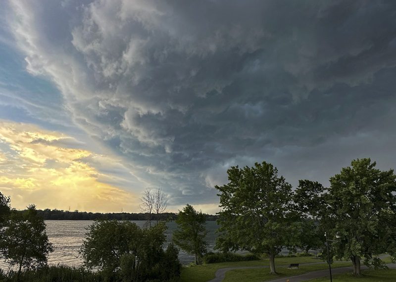
Feature image: Storm clouds move across the sky as Environment Canada issued tornado warnings Thursday, July 13, 2023 in Montreal. Researchers at Western University say two tornados struck southern Quebec during a major thunderstorm last week. THE CANADIAN PRESS/Christinne Muschi


