Best driving roads in America
It doesn’t matter if it’s a Mustang, a BMW or a louche Lamborghini. Every fan of fun-to-drive machines has learned to brace for the dumb, obvious question: “Where are you supposed to drive a car like that?”
The answer, of course, is “everywhere,” from the g-forcing off-ramp in your own town to some of the world’s most scenic and challenging driving roads, right here in the U.S.A. And America is definitely hitting the road again, despite brutal gasoline prices and the drawn-out pandemic. More than 50 million people drove or flew over Thanksgiving, nearly matching pre-Covid travel levels. Gasoline consumption that fell to a 25-year-low in 2020 is seeing a sharp rise.
Certainly, there’s no American Autobahn. And between some police departments acting more like revenue agents (fueled by $600 million in annual federal grants to subsidize ticket writing), insurance companies and soaring car prices, there are plenty of wet blankets to smother the fun. And yet, we keep driving, on the lookout for new roads and new adventures, or returning to the ones we know and love.
With an optimistic eye to unfettered travel in 2022, and millions of car trips to come, here are eight of our favorite American driving roads. Some are touchstones that you’ll recognize, or have experienced yourself. Others are less well-known or swarming with sightseers, but definitely worth a trip or detour. As ever, take the curves at your own pace, and be safe out there.
NYS Route 73, High Peaks Scenic Byway, New York
Tiny Lake Placid, New York became famous as the improbable host of the Winter Olympics in 1980, including America’s “Miracle on Ice” hockey win over the Soviets. Today, drivers can enjoy another form of schussing, on a 30-mile beauty road that accesses the 43 tallest peaks of the Adirondacks, and the highest source of the Hudson River at Lake Tear-of-the-Clouds. It’s the gateway to the 6-million-acre Adirondack Park, the largest protected contiguous area in the U.S, bigger than Yellowstone, Yosemite, Grand Canyon, Glacier and Great Smokies parks combined. There’s no fee to enter, and the “park” doesn’t close at night, so have at it. My last run came in a 2017 Camaro SS with a manual transmission, blazing a fast trail through these lonely and largely police-free roads.
U.S. 129, Tail of the Dragon, Tennessee/North Carolina
Overexposure has dimmed some of the Dragon’s luster, including heavy scrutiny and heavier fines from some of Tennessee’s finest. But this collection of curves at Deal’s Gap, with 318 bends in just 11 miles, can still be a great workout for cars and drivers alike — and about as close as America gets to an Alpine-road descent in Italy or Austria. Just keep eyes in the back of your head, or a radar detector in front. Avoid weekends at all costs (dawn and dusk are smart bets on other days), take a warm-up run to get acquainted, don’t ever cheat over the double yellow lines, and you’ll escape with memories instead of hospital or repair bills.
FM 335, 336 and 337, The Twisted Sisters, Texas
Feel the noise, indeed. Motorcyclists especially flock to this 100-mile loop in Texas Hill Country, northwest of San Antonio. But the metal trio of “Farm to Market” Roads 335, 336 and 337 is also pure entertainment for car fans. It’s a place to lose count of curves, even as you keep eyes peeled for free-ranging cattle, wild pigs or whitetail deer. Fill your tank in Medina, and your belly at Keese’s BBQ, whose slogan is “A serious ride requires a serious breakfast.” Don’t miss the Devil’s Sinkhole in Rocksprings, a 350-foot-deep cave where a nightly commute of 3 million to 4 million Mexican free-tail bats takes place from May to October. And you thought traffic was bad in L.A.
Highway 1/Pacific Coast Highway, California
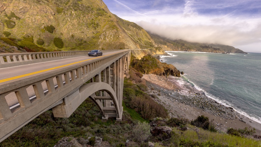
Opened in 1937, Highway 1 (or the Pacific Coast Highway/PCH) traces 666 miles through the Golden State. Some of the most magical, mystical scenery is near Big Sur, south of Monterey and Pebble Beach. Prior to my last drive in 2017, in a new Mazda MX-5 Miata, a cataclysmic landslide had buried one-third of a mile of roadway under about 40 feet of debris, forcing demolition of the Pfeiffer Canyon Bridge. That created “Big Sur Island,” the hamlet cut off in both directions for months. Now the fabled stretch is fully reopened, which means more SUV-clogging tourists, but more chances to enjoy the switchbacks and splendor.
Hells Canyon Scenic Byway, Oregon
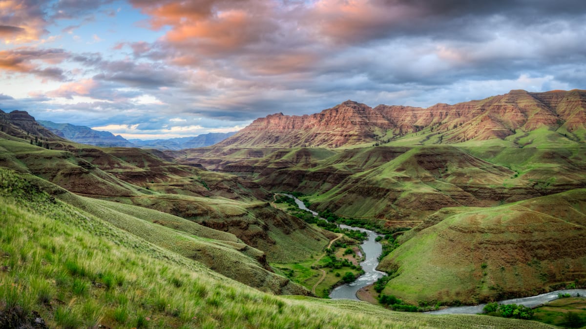
Set aside a full weekend, if possible, to savor this underappreciated gem in Oregon: 218 miles from La Grande to Baker City, wrapped around the Wallowa Mountains. The meandering road leads to Hells Canyon Recreation Area and the mighty Snake River, near the western border of Idaho. This stretch of the Snake boasts the deepest river gorge in North America at 7,993 feet — deeper than the Grand Canyon. Keep the tank full, because there are stretches of more than 80 miles between gas stations and other services. But the road and scenery are spectacular, the fish and wildlife plentiful, the towns charming.
Russell-Brasstown Scenic Byway, Chattahoochee National Forest, Georgia
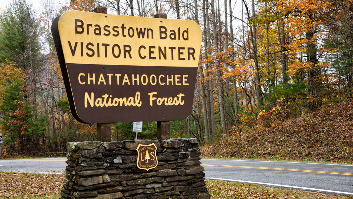
This road may not be on your personal to-do list. It wasn’t on ours until our rom-com-worthy introduction in a pair of Porsche 911 GTS’. Now, we’re in love. The smoothly paved, 40.6-mile byway links Georgia Highways 17/75, 180, 348 and 75A. A section is part of the better-known Six Gap Georgia run. These roads course up and over gaps in the southern Appalachians, with vistas including Brasstown Bald, the state’s highest peak. Compared to some mountain-y destinations like Tail of the Dragon — all second-gear hairpins and blind corners — the Byway has a serious trump card: Multi-mile passing lanes in one or the other direction, with great visibility to boot. You’ll never get stuck behind a minivan or semi again.
Highway 550, The Million Dollar Highway, Colorado
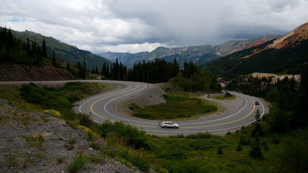
Pikes Peak is better known. But the 23-mile stretch of Highway 550 between Silverton and Ouray offers free fun, better views and a superior final destination, versus Pikes Peak and its off-putting, $15 driving fee. That terminus, after a long descent through the Uncompahgre Gorge, is Ouray, the charming Colorado town known as “Little Switzerland.” The Highway was originally laid by Otto Mears in the 1880’s, the Russian immigrant known as “Pathfinder of the San Juans” for his engineering marvels in mountain road and railroad construction. Give thanks to Mears, or say a little prayer for yourself, as you negotiate this improbably cliff-hung, no-guardrail highway.
SR 79, Sunrise Highway, California
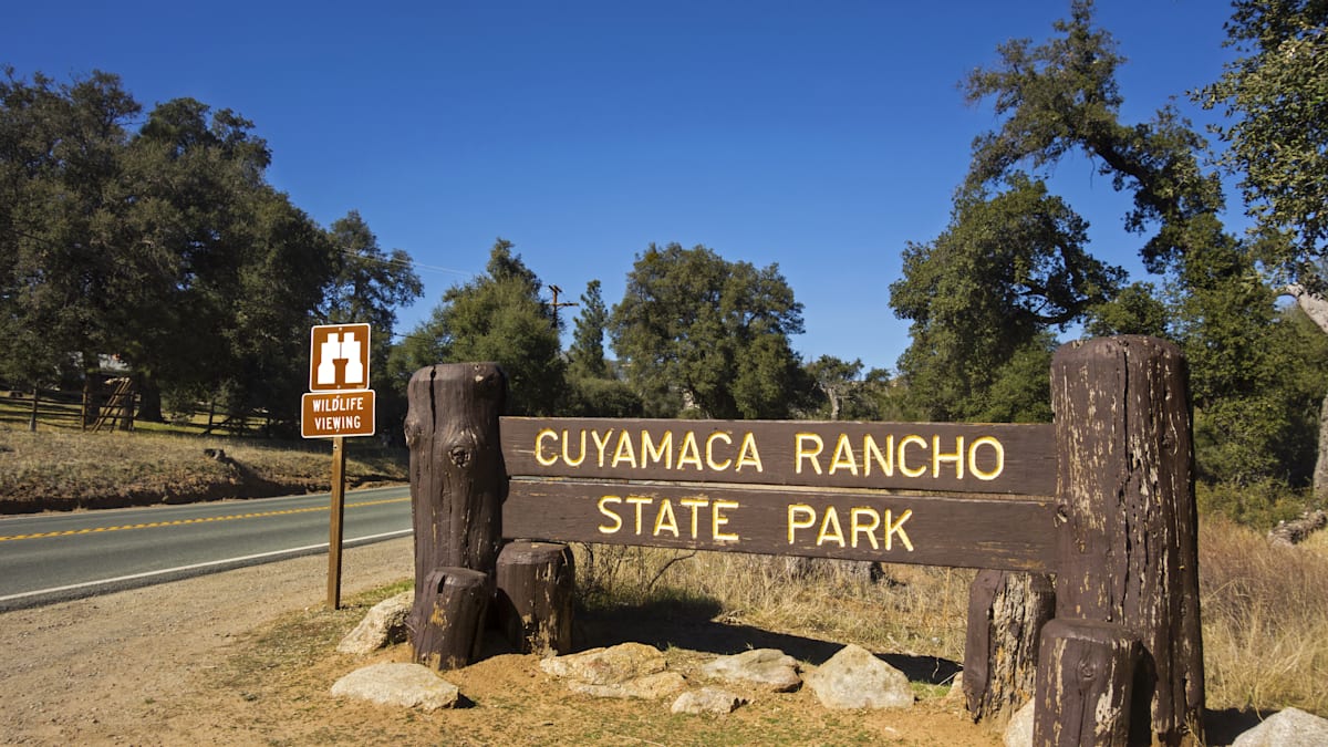
California roads offer an embarrassment of riches. But if Mulholland Drive seems too cliché, head east from San Diego. Pick up the Sunrise Highway near Pine Valley, and get ready for 26 miles of perfect sweepers, hairpins and elevation changes through Cuyamaca Rancho State Park. This is where many automakers go to fine-tune and validate their cars. And no trip here is complete without a stop in Julian and its Julian Pie Company. (Try the pie that blends raspberries, strawberries, boysenberries and apples). If your appetite for curves isn’t sated, keep heading north to Palomar Mountain Road, a loop around the the mountain that houses Caltech’s famous observatory and its three active telescopes.
Related video:


